
An Overview of Song Hinh Phu Yen
Sông Hinh is a mountainous district located in the southwestern part of Phú Yên Province. The area is characterized by its vast land, majestic mountains, and numerous stunning natural landscapes. More than 20 ethnic groups live here, with ethnic minorities constituting nearly half of the population.
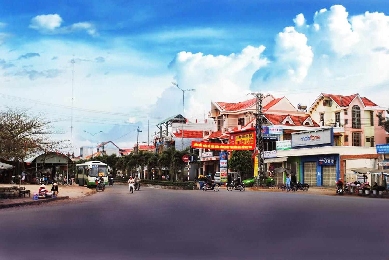
Sông Hinh is a district far from the central region, offering a peaceful and serene rural environment.
Surrounded by mountains on all sides, Sông Hinh’s highest peak is Chư Ninh, standing at 1,035 meters. The district is a beautiful blend of hills and waterways, with the Ba River flowing along its northern border, meeting the Sơn Hòa District. The river splits into multiple branches, with streams flowing from the mountain peaks, creating a soothing sound day and night. A hydroelectric reservoir has also been built to harness the water's energy for local power needs. The dreamy natural scenery is a major draw for visitors who wish to explore and check in at Sông Hinh in Phú Yên.
Traveling to Sông Hinh from Tuy Hòa city center is relatively convenient. Simply follow National Route 1A south, cross the Đà Rằng Bridge, and continue for about 1 km to reach the Phú Lâm intersection. From there, turn west and travel approximately 55 km on Road Đ.T645 to reach Hai Riêng Town, the administrative center of Sông Hinh District.